Beinn Bhrotain and Monadh Mor 2004 Part 1
Just to clear things up I made a big mistake in the Glensheil 7 walk.
It was not a white pudding Graham had but a King rib at the chip shop. Lol
In 2004/ 2005 I was signed off work for a year waiting to see a doctor at the hospital about pain I was having in my hand. Trying to decide if I'll tell you about that or the walk, hmm-ok walk then. I was on Tramadol painkillers which were opium based. The pain was so intense that I had to take 5 of these a day + paracetamol and ibuprofen as well. The maximum for Tramadol is 3 a day. This was every day. if I missed a day of painkillers it took 5 days to get back to where I was with pain management. I did lose a lot of weight because they stop your appetite, that was the only bonus. I had to go and lie down quite a lot to chill.
Tramadol do make you extremely happy when you first start taking them but after 6 months or so they're more likely to make you suicidal. Anyway I took up hill walking and Munro bagging again something I had done when I was at school in the hill walking club of Aberdeen Grammer School. Decided to start at 0 because the only hill I could remember being up was Lochnagar. At this time I would have been 43/44 years old had not been up a big hill since I was 14'ish. In 2004 I managed to bag 24 Cairngorm Munros and Ben Hope in Sutherland the most northerly Munro on my way back from Orkney.
I could bore you with the full list but I won't.
So anyway my first year back hill walking which I tried to do once a month, I found this gave great pain relief slogging up the mountains and took away the monotony of my days stuck at home with everyone else out. Diesel was also much cheaper then. I would go to the Cairngorms as they were the nearest Munros to where I live.
Before I went on this particular walk I had gone to an evening class for hill navigation at the local school, as at this time a GPS was something quite expensive and I don't think many people had them. Not like now where gps is on most new phones and you have walking map GPS's, where the OS map scrolls along with a pointer showing you exactly where you are on a on-screen map. 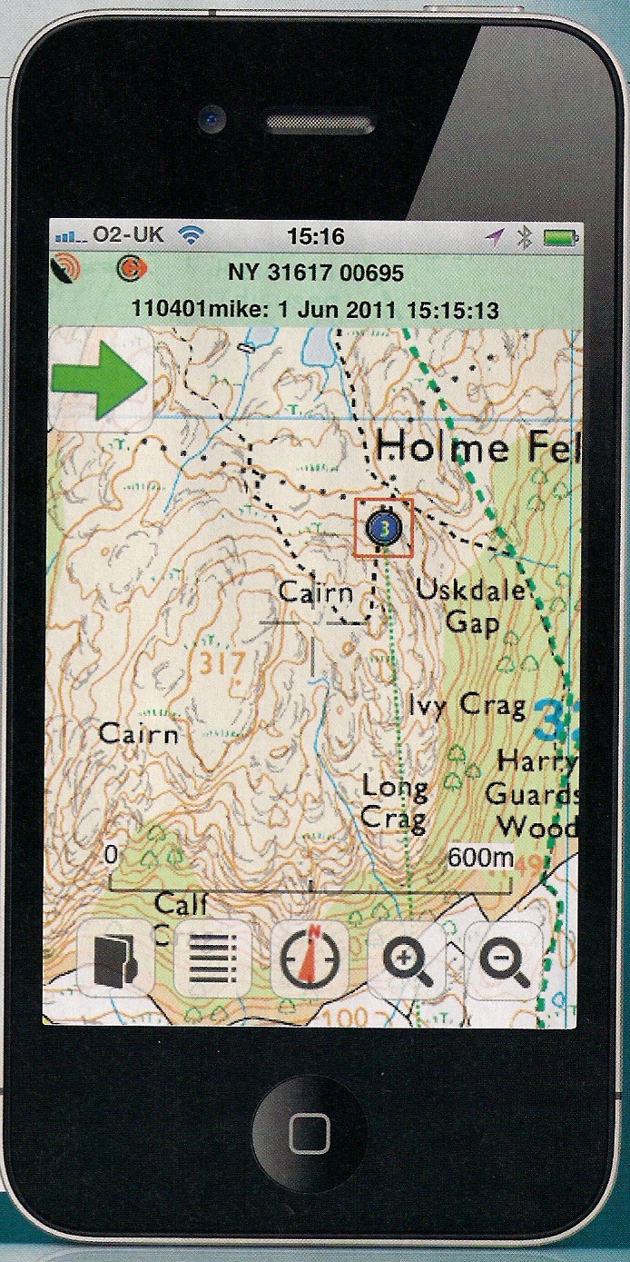
Viewranger
I can't quite remember how I was picking the order of the Munros I would climb at the time maybe by the height, these were 2 of the biggest at 1157m and 1113m. I think I was hoping to get the top 10 highest at the time although it did not work out that way. Best laid plans of mice and men as the saying goes. Ok I'm writing this from memory so it might get a bit sketchy in places, but I have found the OS map I planned the walk on, so that will help and had a walk along to the White bridge the other day to jog my memory as well.
The walk
It was a nice day and I would have got the weather from the BBC tv forecast at this time so would not have been that accurate for the mountains. I reckon it would have been April 2004 as I recall it was dark at 9pm . This time will come into play later in the story. I got up early to get to the Linn Of Dee for around 7am ish. I can remember looking for a torch in the morning before I left but could not find one. Thinking (again) I would not need one I just left without it ( big mistake there) all will become clear later. Its 50 miles to the Linn Of Dee and the car park, £2 to park now think it was cheaper then. Got to the car park around 7am as planned and kitted up, had just got my first set of walking poles not long before this and had them with me to use.
Had my Nokia brick mobile phone and a 35mm film camera with me. I have a few pictures of the original walk. Some you will see will be from my recent walk and some from Chimpaction my walking buddy, as he has been up this hill recently.From the Linn of Dee to the White bridge where you bear north is 3 miles and takes around 1 hour to get to along the Landrover track. It seemed like a long way at the time as I was walking and several people passed me on bikes.

At the gate where you leave the tarred road there is a sign with distances and a warning of what you are about to enter - a vast wilderness.

Take heed of the warning.
Nose stuck in map trying out my new navigation skills as I walk along the Landrover track looking for items marked on the map I made my way to the White bridge.

By the way its not white. I think it could have been made by someone called White or an earlier bridge was white, sure someone will know.
Reaching the far side of the bridge I took the path to the north up Glen Dee alongside the river Dee .

This is what they call the Chest of Dee. Following the path north alongside the river Dee it's about 1.8miles till I came to where I would start climbing Beinn Bhrotain. Using my new navigation skills I took a bearing from the OS map and would walk on a compass line to the top. Big sod of a hill in front of me. A few bikes lying in the heather. There are one or 2 small tops as you climb and my first target was Carn Fiachlach Beag walking on a bearing of 307 degrees from NN 997 897 ish.
About my compass I am a blin bugger who has to wear glasses to see far I am going and to read. So I found that the compass I had with the numbers inside the dial was hard to see. So I went on the hunt for one with big numbers on the outside of the dial. Not easy to find I found out.
A trip to 
Set off up Beinn Bhrotain on my bearing just over 3 miles to the top from the river in an up direction, first stop Carn Fiaclach Beag where I turned towards the west for Carn Fiaclach. Met a chap here who had a GPS and compared coordinates with where I thought I was and his GPS, must have been wealthy, bang on with old map and compass I was chuffed with myself you could say. Headed for Carn Cloich-mhuilinn and the going getting steeper this is a Munro top according to my Munro map so I bagged it. Yep just cause it was on a list. Sad what?


Picture by Chimpaction, Graham Scott.
There were a few folk around the top on this day as it was a reasonable day. Next 301 degrees for the bealach between Beinn Bhrotain and Monadh Mor,

Picture taken from the bealach, Cairn Toul centre of shot.

On the bealach looking back at the descent. Up I went to the top of Monadh Mor at 1113m going to the two tops on here.

No self timer in those days so settled for a pic of my rucksack. Not often you see the Caringorms with no clag on them. Now this is where the troubles started. Normal problems resume from here. I had planned to stay up high and take in The Devil's point but being a bit green had not realised how big a walk this was. Only a couple of inches on the map so to speak. (Wrong) by the way I still misjudge distances now. But just in millimetres. Lol.
Ok it was in to the afternoon by now and must have decided to drop down to Glen Geusachan, a steep descent of around 540m in about 1.5km gone metric for a while. Checked the map to avoid the crags on the descent to Glen Geusachan. A very steep down into the boggiest place on the planet, mud up to your crotch as you follow the sort of path along the south side of the burn.
Was tired by this time but plodded on with the bright idea of crossing the 
The Devil's Point from Glen Geusachan.
When I reached the end of Glen Geusachan the burn was very wide and I did not fancy crossing it. Plan B. Carry on round Beinn Bhrotian down Glen Dee and back onto the path I started from. Time was getting on and I knew it would be dark at 9pm. No way would I make the car park by then and remember no torch. S**t.
I had got out of Glen Geusachan and was heading down Glen Dee.
Looking up Glen Dee by Chimpaction, Graham Scott.
Now I was on a good path heading to the White bridge at a good pace or at least I thought it was a good pace. It was well into the evening and only had a couple hours of light left. So the bold me decided I would be quicker on the path on the other side of the river Dee .
Studied the river as I walked along and found a bit where there were boulders 3/4 of the way across the river. Perfect I'll cross here. Took off my boots and socks and tied my boots to rucksack, rolled up trouser legs. Bare foot I set off across the boulders till I reached the point where the boulders stopped and about 10 foot of flowing river left.
Did I get across no problem? Wouldn't you like to know?
Well stepped barefoot into the water which was very very cold, beside the last boulder with walking poles to aid me.
Took one step forward and.
Now about that boring list I decided to bung it in for you.
2004 | 1344 | ||
Ben Macdui | 2004 | 1309 | |
Cairn Gorm | 2004 | 1244 | |
Beinn a 'Bhuird North top | 2004 | 1197 | |
Ben Avon | 2004 | 1171 | |
Beinn Bhrotain | 2004 | 1157 | |
Lochnagar | 2004 | 1155 | |
Monadh Mor | 2004 | 1113 | |
Carn a 'Corie Boidheach | 2004 | 1110 | |
Glas Maol | 2004 | 1068 | |
Cairn of Claise | 2004 | 1064 | |
Carn an t-Sagairt Mor | 2004 | 1047 | |
Carn an Tuirc | 2004 | 1019 | |
Cairn bannoch | 2004 | 1012 | |
Broad Cairn | 2004 | 998 | |
Creag Leacach | 2004 | 987 | |
Carn a'Gheoidh | 2004 | 975 | |
Tolmount | 2004 | 958 | |
Tom Buidhe | 2004 | 957 | |
Driesh | 2004 | 947 | |
Carn Bhac | 2004 | 946 | |
2004 | 939 | ||
The cairnwell | 2004 | 933 | |
Mayar | 2004 | 928 | |
Ben Hope | 2004 | 927 |
It would not be until 2011 I would climb more Munros in a single year.
You will have to wait for part 2 to find out how I got on.
Coming soon - Part2. For my 3 fans!!!
To see more of Chimpactions photos go here.
http://www.flickr.com/photos/dino60/
Dino60
You git! Let's have part 2 then!!!
ReplyDelete